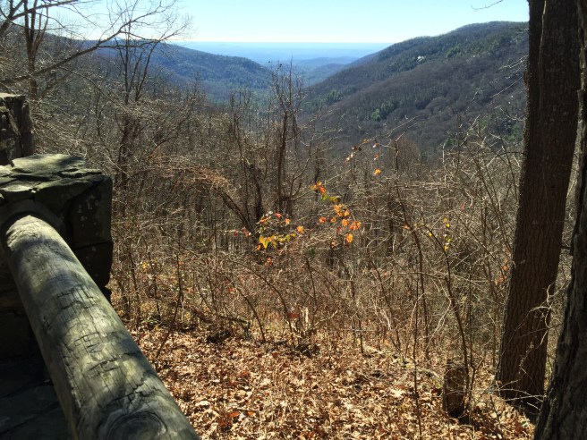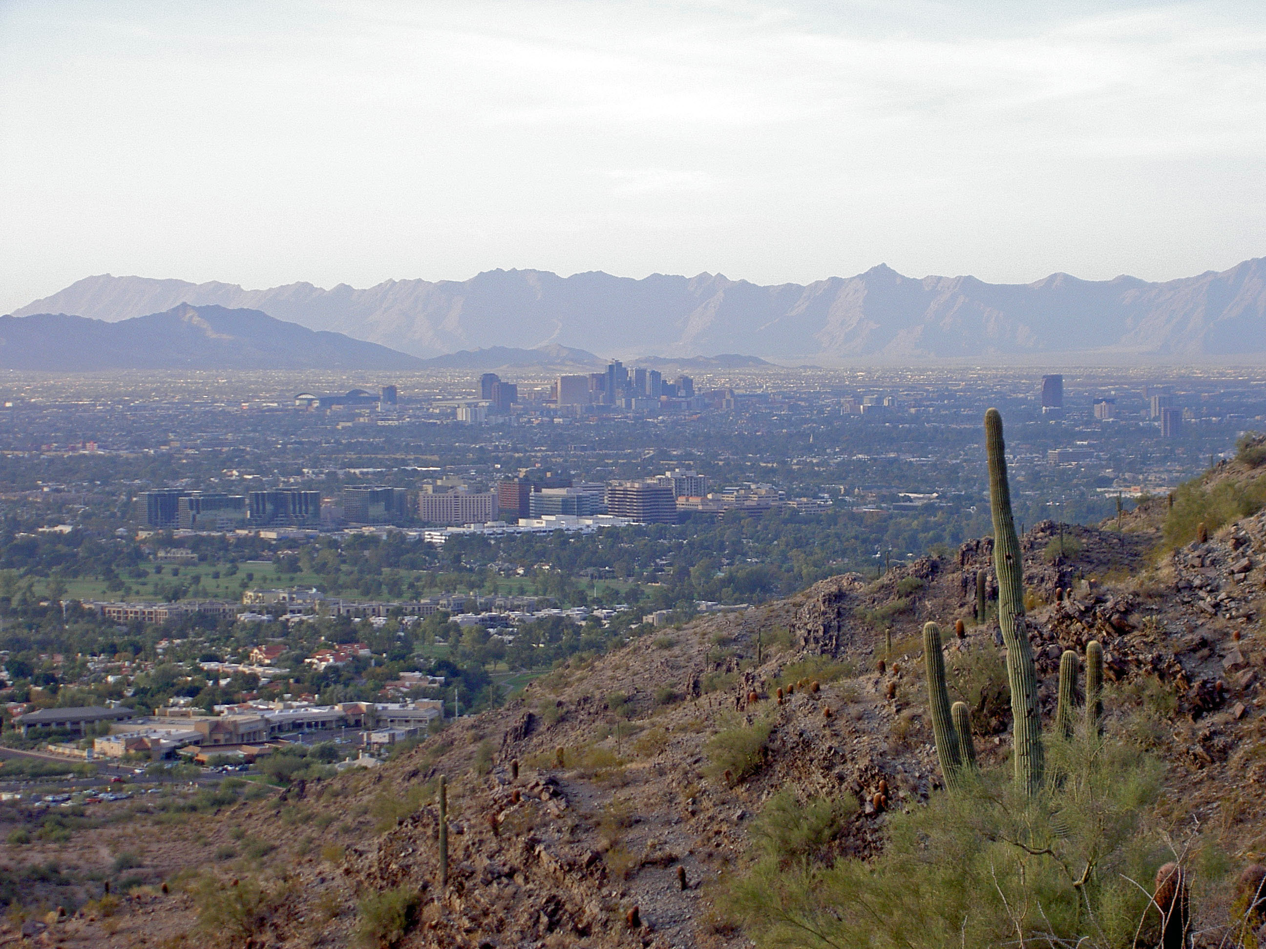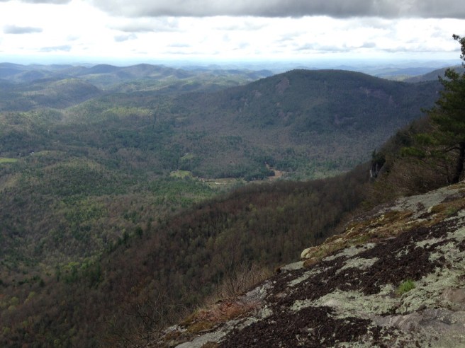
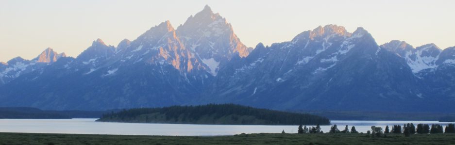
For those who enjoy hiking, perhaps the first places that come to mind for the activity are wilderness sanctuaries offered at national and state parks or through the U.S. Forestry Service. Surprisingly, there are also some major metropolitan areas that provide hiking opportunities both inside the city and in the surrounding countryside. Inner-city parks are great places to enjoy nature and leg-stretching. Sometimes, just walking the streets can end up being a good cardio workout, especially when cities are built in hilly sections of the country. One of the best destinations for hiking in the U.S. is the San Francisco Bay area. The city is characterized by steep hills and valleys, and there is an abundance of parks and wilderness all around the bay.
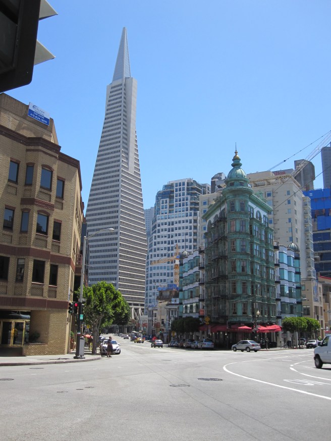
The city of San Francisco is built on a peninsula in a grid pattern with a collection of over forty hills, some of which reach a height of nearly 1,000 feet. There are plenty of books and websites devoted to urban hiking for San Francisco, and there are groups organized specifically for walking in the city for health, recreation, relaxation, social interaction, and learning about the history of the area. There are even companies that offer guided walks, such as Urban Hiker San Francisco. Most walks are a moderate challenge to people in fairly good health, and some of them have the added bonus of stellar views of the city. For example, the 40-minute loop trails at Bernal Hill crisscross 26 acres of pathways, some of which lead to the summit with 360-degree views of San Francisco all the way to Daly City, Oakland, and Berkeley.
Once you get outside the city, there are loads of hiking options to the north, east, and south. The California Coastal Trail is very popular and yields spectacular views of the Pacific Ocean and the rugged cliffs along the California Coast. There are also nice trails with beautiful bay vistas and distant views of the Golden Gate Bridge in suburbs such as Point Richmond to the east. Located along the rocky cliffs to the south and overlooking the ocean, Lands End is easily one of the most popular spots for a scenic walk. The trails are accessible from a parking lot just north of the world-famous Cliff House and directly in front of another major San Francisco attraction — the ruins of the Sutro Baths, a former swim palace built in the 19th century which featured the world’s largest indoor swimming pool at the time of its opening. The waves crashing against the giant rocks on the beach at Lands End is like something out of a movie!

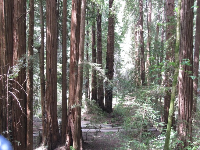
Looking for a more traditional hiking experience? Just a short drive north of the city is Muir Woods National Monument. Named for the adventurous naturalist who devoted so much of his life to preserving the wonderful natural resources of the west, this National Park Service property is home to a primeval forest of old growth coast redwoods, cooling their roots in the fresh water of Redwood Creek and lifting their crowns to reach the sun and fog. The diversity of flora and fauna at Muir Woods is incredible. The redwoods themselves dominate the scene, but the humble Steller’s jay, ladybugs, ancient horsetail ferns, and the banana slug hold their own beneath the canopy. Plants adapt to low light levels on the forest floor, while whole plant and animal communities bustle in the canopy.
Of course, the bay is the true centerpiece of this portion of the Pacific Coast. With an average depth of only 12-15 feet, this large body of water looks more like a massive inland lake than a gateway to the ocean. The main body of the bay covers about 400 square miles. Approximately 40% of California’s water systems drains into the bay. Most visitors to the area probably take in the view of the bay from Golden Gate Bridge, but to truly appreciate its size, the perspective from the surrounding hillsides is best. My personal favorite vantage points are along the east side at Richmond and from the north at Muir Woods. Hiking is a great form of exercise, but what we see along the way makes the experience so memorable. With that objective in mind, San Francisco is a hiker’s dream.